Every second counts in Search & Rescue.
When someone goes missing in remote terrain, emergency teams need real-time information to coordinate effectively. Drones are already part of the solution—but only if everyone on the ground knows they're there.
This is where Drone-Check makes the difference. Visible Flights, Clear Communication & Structured Airspace during Emergencies
When SAR teams register their flights on our platform, they're not just flying, they're communicating.
Unique Operator Codes
Use unique operator codes to instantly identify official rescue drones from civilian activity. Local authorities see exactly where drones are operating and why. Residents understand that overhead activity is part of a coordinated rescue effort, not a privacy concern. Police know which operators are legitimate and authorized. With multiple drones in the air, structure becomes essential.
Example: SOS-DroneTeam-NL-6587011 or any custom generated code or ID
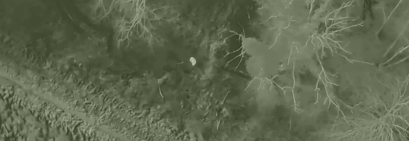
Assigned Search Radiuses
Assign search radiuses and height per drone on the interactive map to prevent flight conflicts and avoid duplicate coverage. Each team knows their zone, coordination becomes seamless, and resources stay focused on the search. Faster Coordination. Fewer Interruptions.
The result is faster coordination, fewer interruptions, and more focus on what matters: bringing people home safely.
Transparency Saves Time Whether it's mountain rescue, water search operations, or coordinating multiple teams across challenging terrain, transparency saves time. And in emergencies, time is everything.
Make your flights visible on www.drone-check.eu
 Drone-Check